THE RIDE LIBRARY

Documentary Dispatches

Unfiltered 4K multi-cam films and onboard traces from the Italian Alps, the Great Smoky Mountains, and the Lombardy foothills.

Italian Alps BMW R 1300 GS

The Wildest Road in Italy? | Bormio to Cortina d'Ampezzo

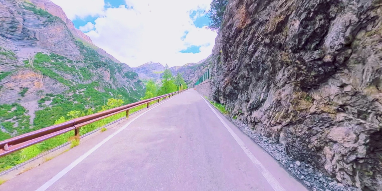
Traversing Passo Gavia and the high dolomitic ridges towards Cortina d'Ampezzo. Tight single-track shelf roads, zero guardrails, and glacial runoffs.

Northern Italy BMW R 1300 GS

TTET25 Day 01 — Milan to Lake Como

Stage 1 departure on the Trans-European Trail from suburban Milan through the historic lakeside roads and foothills of Lake Como.

Smoky Mountains, TN/NC BMW R 1250 GSA

Tail of the Dragon & Moonshiner 28

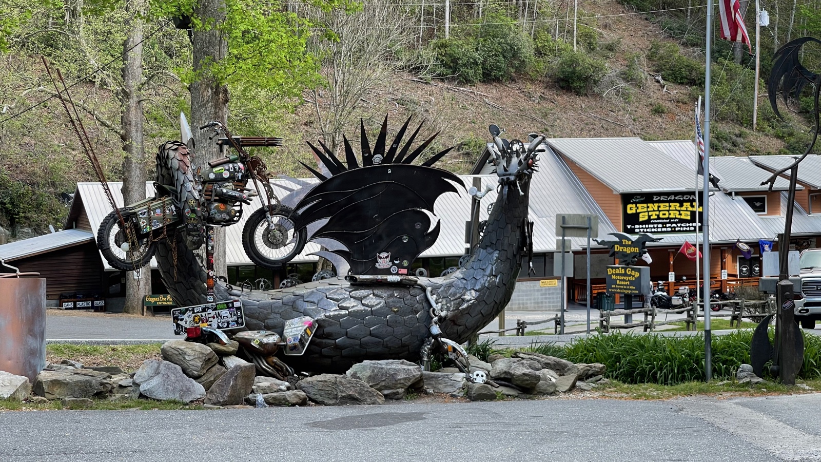
318 banked turns in 11 continuous miles across the Tennessee and North Carolina border. Carving the Deals Gap corridor on the Triple Black GSA.

EXPEDITION ARCHIVE

Regional Passes & Waypoints

Verified high-altitude pass logs, route coordinates, and machine pairings across five global touring sectors.

Alps and Dolomites onboard mountain pass view
SECTOR 01 · EUROPEAN ALPS
CENTRAL EUROPE

The Alps & Dolomites

Motorcycle: BMW R 1300 GS

High-altitude passes across Italy, Switzerland, and France. Demanding technical switchbacks, single-track asphalt along sheer gorges, unpredictable glacial weather, and high-cadence climb profiles.

Highest Summit: 2,757 m (Stelvio) Terrain: Glacial rock & tight tornanti Routes: TTET25, Grandes Alpes, Dolomites
Pass / Waypoint Elevation Region & Route Technical Profile Surface
Passo dello Stelvio 2,757 m / 9,045 ft Eastern Alps (Italy) · SS38 48 hairpin turns (tornanti) on northern wall; continuous switchback climb High-friction asphalt
Passo Gavia 2,621 m / 8,599 ft Ortler Alps · Bormio to Ponte di Legno Single-lane shelf road, zero guardrails on south cliff face, blind apexes Narrow asphalt / frost heaves
Bormio to Cortina d'Ampezzo 2,239 m / 7,346 ft Dolomites Traverse · SR48 High-speed sweepers interspersed with tight dolomitic valley climbs Smooth alpine pavement
Route des Grandes Alpes 2,084 m / 6,837 ft French Alps · Montriond to Val Cenis Col du Galibier & Col de l'Iseran approaches; long-distance mountain traverse Mixed alpine highway
Passo San Boldo 706 m / 2,316 ft Venetian Prealps · SP635 5 hairpin turns engineered entirely inside spiral tunnels in cliff face Single-lane signalized asphalt
Triple Black BMW R 1250 GSA at Deals Gap
SECTOR 02 · APPALACHIA & MIDWEST
EASTERN UNITED STATES

The Smoky Mountains & Ohio

Motorcycle: BMW R 1250 GSA (Triple Black)

The dense forest canopy and relentless cornering density of the southern Appalachian mountain passes, paired with fast Ohio valley technical sweepers. High-grip asphalt, aggressive cambers, and heavy low-end Boxer torque.

Corner Density: 318 turns in 11 mi Elevation: 5,390 ft (Cherohala) Routes: US 129, NC 28, Cherohala Skyway
Pass / Waypoint Elevation Region & Route Technical Profile Surface
Tail of the Dragon 1,988 ft / 606 m Deals Gap, TN/NC · US 129 318 corners in 11 miles; banked off-camber curves, continuous transitions High-friction mountain asphalt
Moonshiner 28 2,450 ft / 747 m Nantahala National Forest · NC 28 Fast sweeping river turns, lake vistas, flowing rhythm with tight switchbacks Smooth forested pavement
Cherohala Skyway 5,390 ft / 1,643 m Tellico Plains to Robbinsville · NC 143 Mile-high ridgeline highway with sweeping alpine-style curves and elevation shifts Flawless wide-radius tarmac
Foothills Parkway 2,680 ft / 817 m Walland to Wears Valley, TN Sweeping bridge viaducts and sweeping curves overlooking the Smokies Modern parkway asphalt
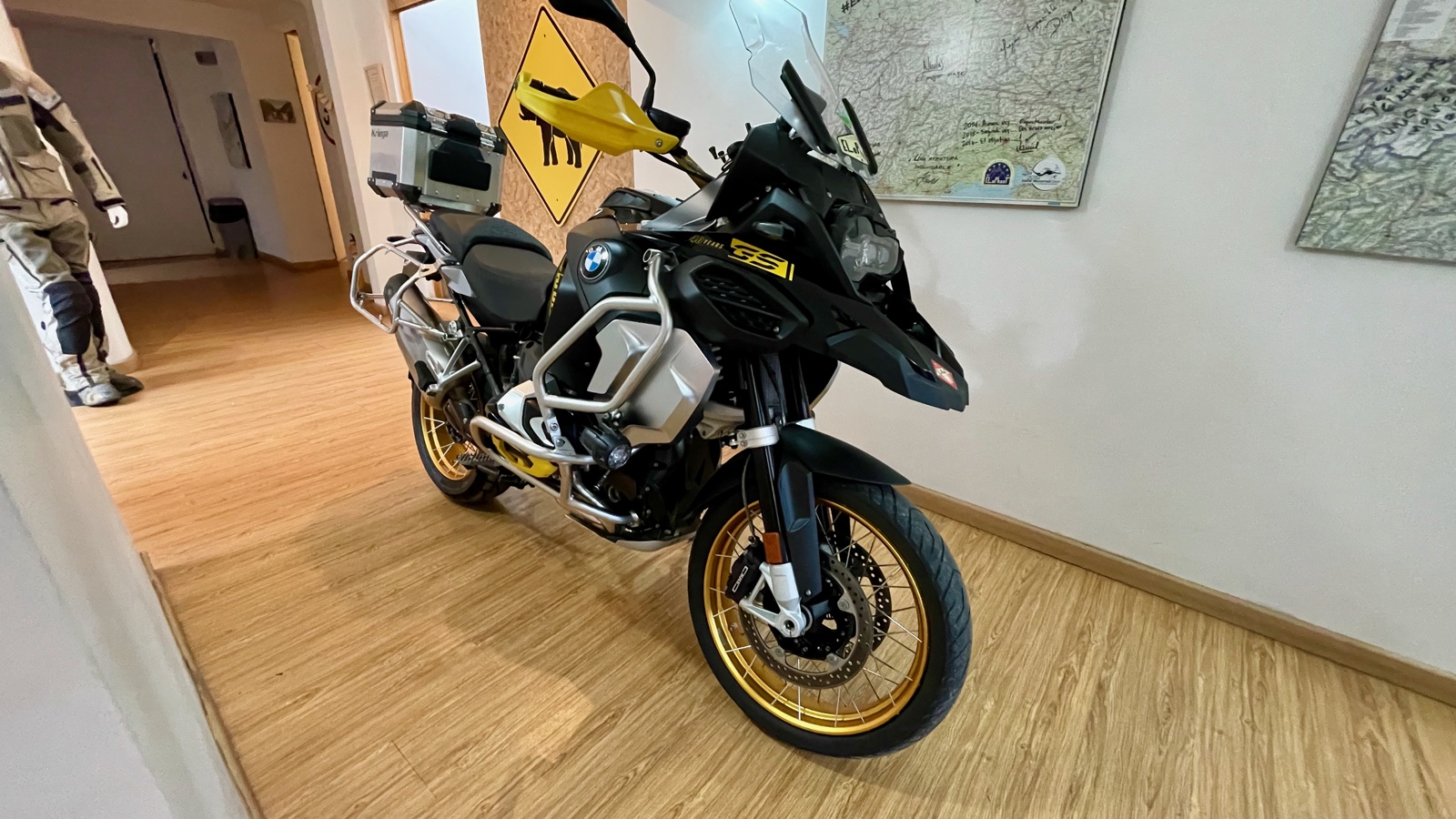
BMW R 1250 GSA 40th Anniversary Edition in Colombia
SECTOR 03 · SOUTH AMERICA
ANDES CORDILLERA

Colombia

Motorcycle: BMW R 1250 GSA (40th Anniversary Edition)

Ascending the dramatic volcanic backbone of the Colombian Andes. From tropical Magdalena valley heat up into the freezing paramo winds of Alto de Letras. Torrential equatorial rain, landslides, and towering wax palm canyons.

Highest Summit: 3,677 m (Alto de Letras) Climb Duration: 80+ km continuous ascent Routes: Eje Cafetero, Cordillera Central
Pass / Waypoint Elevation Region & Route Technical Profile Surface
Alto de Letras 3,677 m / 12,063 ft Caldas / Tolima · Route 50 Longest continuous paved climb on Earth; 80+ km from Mariquita to paramo summit Patchwork asphalt / fog / rain slick
Cordillera Central Traverse 3,250 m / 10,662 ft Manizales to Bogotá Corridor High-altitude mountain spine passing active Nevado del Ruiz volcanic terrain Mountain highway / gravel repairs
Eje Cafetero (Coffee Axis) 1,800 m / 5,905 ft Quindío & Risaralda Valley Ultra-steep plantation inclines, hairpin river descents, volcanic silt Concrete tracks & wet tarmac
Valle de Cocora 2,400 m / 7,874 ft Salento, Quindío Narrow mountain access road flanked by native 200-foot Quindío wax palms Rural paved & packed stone
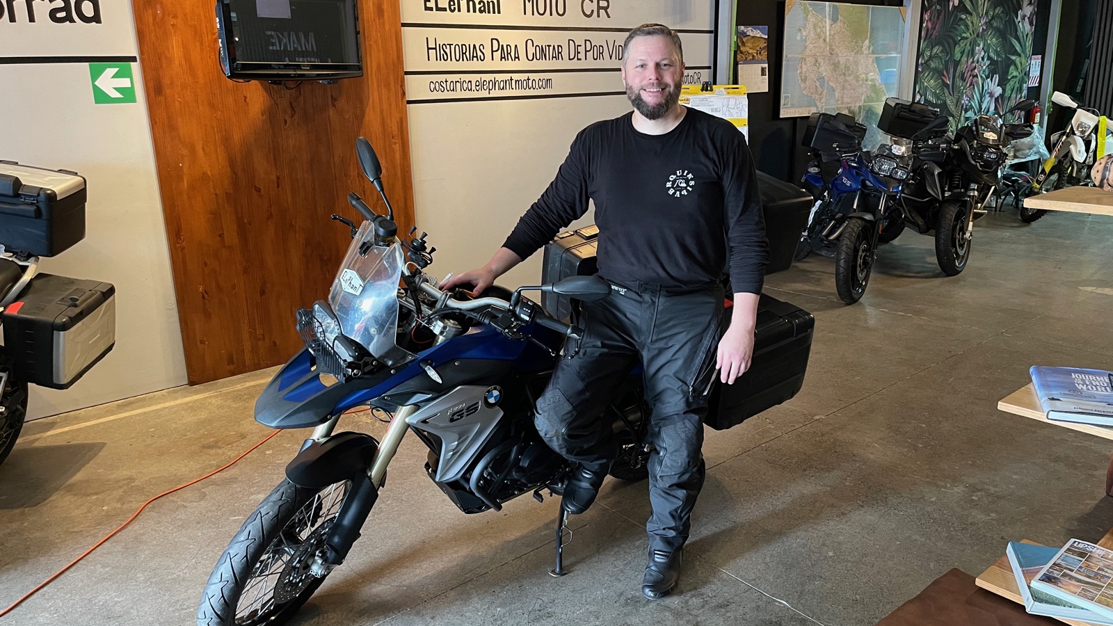
BMW F 850 GS in Costa Rica rainforest
SECTOR 04 · CENTRAL AMERICA
PACIFIC & CARIBBEAN SLOPES

Costa Rica

Motorcycle: BMW F 850 GS

Volcanic cordilleras, misty cloud forests, and Pacific coastal dirt tracks. High humidity, river crossings, red volcanic clay, and the highest point on the Inter-American Highway at Cerro de la Muerte.

Highest Summit: 3,451 m (Cerro de la Muerte) Terrain: Rain forest mud, loose gravel & coastal twisties Machine: 21-inch front wheel dual-sport agility
Pass / Waypoint Elevation Region & Route Technical Profile Surface
Cerro de la Muerte 3,451 m / 11,322 ft Cordillera de Talamanca · Route 2 Highest summit on the Pan-American Highway in Central America; dense cloud banks Challenging mountain tarmac
Arenal Volcano Perimeter 550 m / 1,804 ft La Fortuna · Route 142 Lakeside sweepers winding through primary rainforest canopy with volcanic views Smooth twisting pavement
Monteverde Cloud Forest 1,440 m / 4,724 ft Puntarenas Ridge · Route 606 Rocky climb with washouts, steep switchbacks, and zero shoulder drop-offs Unpaved ballast stone & dirt
Nicoya Peninsula Coastal Route Sea Level to 450 m Guanacaste · Route 160 Tidal river crossings, loose gravel washboard, technical low-traction riding Riverbed gravel & red clay
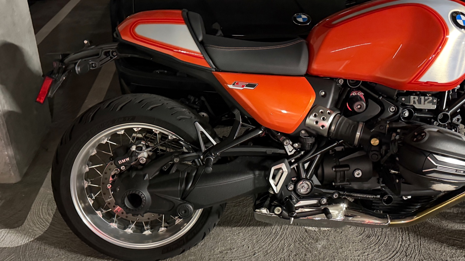
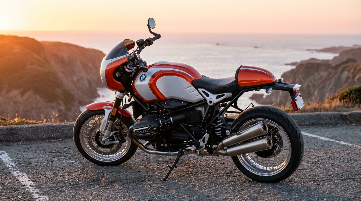
BMW R 12 S in California
SECTOR 05 · PACIFIC COAST & SIERRA
WESTERN UNITED STATES

California & Pacific Horizons

Motorcycle: BMW R 12 S (2025 Option 719)

The home proving grounds. Sweeping coastal cliffs along CA-1 Big Sur, dense coastal redwood canopies on Skyline Boulevard, and high alpine granite ascents into Yosemite's Tioga Pass. Pure air/oil-cooled boxer rhythm.

Highest Summit: 9,943 ft (Tioga Pass) Routes: CA-1 PCH, CA-35 Skyline, Mt Hamilton Terrain: Ocean cliffside & Sierra granite passes
Pass / Waypoint Elevation Region & Route Technical Profile Surface
Tioga Pass (Yosemite) 9,943 ft / 3,031 m Sierra Nevada · CA-120 Highest highway pass in California; granite cliffs, Tenaya Lake, steep eastern drop High-grade Sierra tarmac
Pacific Coast Highway (CA-1) Sea Level to 1,200 ft Big Sur / Central Coast Continuous high-speed ocean sweepers, cliffside bridges, marine layer mist Smooth coastal asphalt
Skyline Boulevard & Stage Road 2,400 ft / 731 m Santa Cruz Mountains · CA-35 Redwood ridgeline switchbacks, technical apexes descending to Pescadero Dense redwood canopy asphalt
Mount Hamilton (San Antonio Valley) 4,209 ft / 1,283 m Diablo Range · CA-130 365 tight turns ascending to Lick Observatory; remote backcountry canyon descent Narrow single-lane mountain road